
Mapping

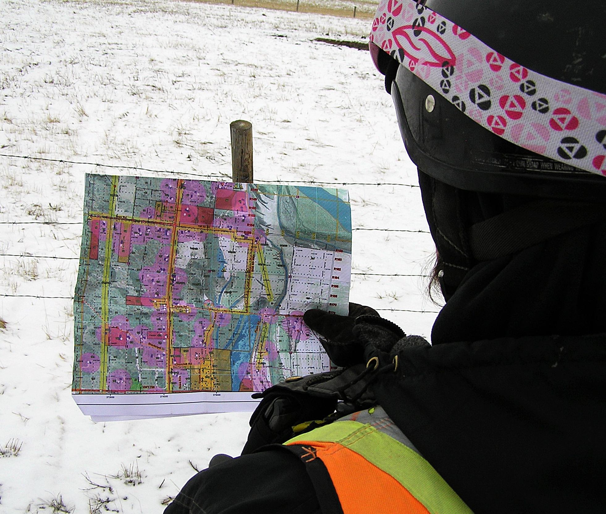
Mapping
is a key element of successful communication between all contractors
working on a Seismic exploration project. It gives all workers a visual
representation of how to access around the project site safely, hazards
they will encounter, and important exclusion zones and setbacks for the
Survey team, Drills, and line crew alike.
Raymac
Surveys Ltd. has plotters on each work site so that daily updates of
the map can be provided to the onsite crew based on the previous days
survey and hazards identified.
Other
mapping services provided include Digital terrain modeling(slope
analysis), Lidar mapping, Drainage site surveys, surface modeling, and
other custom survey mapping projects such as campgrounds, golf courses,
and farm applications.
details…